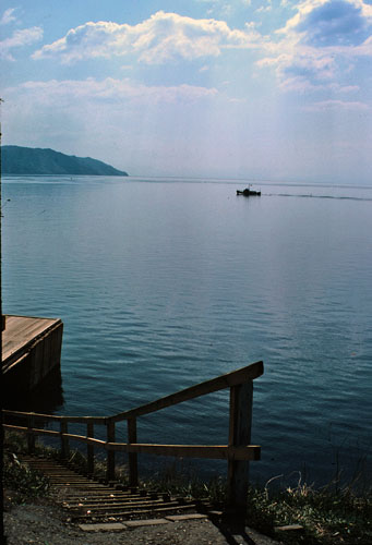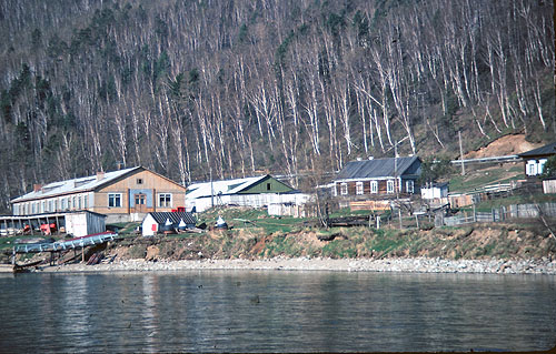
Lake Baikal Shoreline
Lake Baikal, located in southern (and eastern) Siberia near the city of Irkutsk, is the largest freshwater lake in the world. Very little was known about the lake until the Russian government undertook the construction of the Trans-Siberian Railway in the 1890s, and voila, the government found out that there was this big lake right in the middle of the projected route for the railroad. The lake could not be moved, so they had to build a huge loop around the lake that needed hundreds of bridges and tunnels, which drove up the cost of the railway considerably--in the winter when the lake froze, they rebuilt the railway right across the lake to save time on the trip to Vladivostok. The building of the railway required further, detailed exploration of the lake, and the Russians discovered numerous interesting aspects of Baikal.
Some facts about Lake Baikal:
- the world's deepest lake at over five thousand feet
- the world's largest lake in terms of volume; it contains over one fifth of the world's total fresh surface water
- the world's oldest lake. Its age has been estimated at anywhere from 25 to 50 million years. Almost all other freshwater lakes in the world are less than twenty thousand years old.
- it has the world's second largest island-in-a-lake, Olkhon.
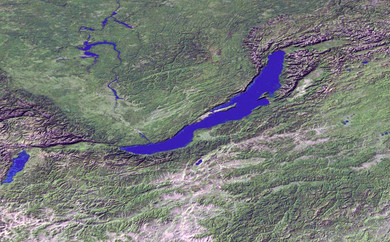
- the largest surface area of any freshwater lake in Asia, more than 13,000 mi. sq.; it ranks seventh in surface area among all the world's lakes--the six larger lakes are all far shallower than Baikal.
- the world's deepest rift valley. The bottom of the lake is over 1200 meters below sea level. Then below that lake bottom there is some four miles of sediment, which makes the real rift floor more than five miles below the lake's surface.
- it is about fifty miles wide at its maximum width and about four hundred miles long
- The origin of the name "Baikal" comes from "Baigal" (Байгал), from the Mongolian word for "nature."
- In the winter, Baikal does freeze over up to a depth of about three feet thick.
- There are over three hundred inflowing rivers (the largest is the Selenga River), but the only outlet is the Angara River, which eventually flows into the Enisei.
- Lake Baikal is almost completely surrounded by mountain ranges.
So, what makes Lake Baikal so unique, a UNESCO world heritage site, besides its deep, clear water?
Lake Baikal lies in a rift valley, a gorge where the crust of the earth is pulling apart. The section of Asia, to the northwest of the lake, is pulling away from the part of Asia to the southeast at a rate of about two centimeters (three-quarters of an inch) a year. In geological terms, the rift is still young and seismically active. There are earthquakes in the region every few years.