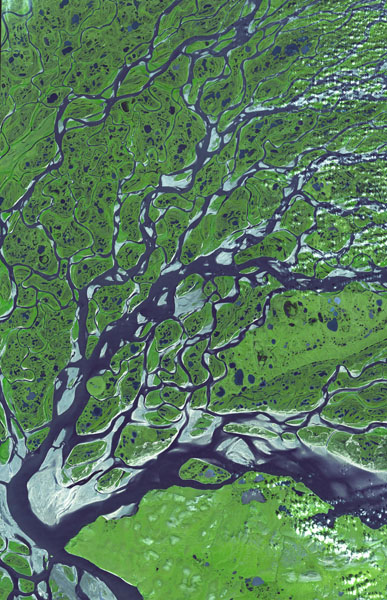
Lena Rive Delta
|
The Lena (Ле́на) River in
Siberia is one of the world's longest rivers.
It originates in the Baikal Mountains, west of Lake Baikal, and
flows first northeastward and then almost due north to the Laptev Sea (part of the
Arctic Ocean). At the mouth of the Lena River is a large delta
that is about two hundred and fifty miles wide and traversed by seven
major branches of the river. The delta is frozen
tundra for about
seven months of the year, but from May through September it is a lush wetland; part of
which has been designated the Lena Delta Wildlife Reserve. |
|
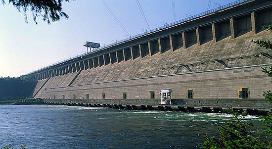
The Lena river is an
important waterway and is navigable almost its entire length; it is a
prime tourist location for steamship excursions. The river
freezes at different times of the year along its
length, generally the Upper
Lena begins freezing in the middle of October, and in early
November--the Lower Lena. The spring ice break-up is accompanied by
ice jams and a sudden rise in water levels often with very destructive flooding. The
river level has been known to rise as much as thirty feet in one day as
a result of an ice dam.
Tradition has it that
Lenin (Vladimir Ilyich Ulianov) took his
aka of "Lenin" from the Lena River, but that has never been
conclusively proven. Most of the pre-1917 Marxist revolutionaries
used all sorts of aliases, some connected with geography, others
devised from other animal, plant or other personal sources.
Maybe all the other good aliases had been
taken, so Lenin opted for "Lenin."
The Lena River was the location of substantial gold mining operations in Imperial Russia
and the site of the Lena gold fields massacre of workers by the Russian
army in April 1912 (See the new book by Michael Melancon, The Lena Goldfields Massacre and the Crisis of the Late Tsarist State).
Workers originally struck the mining operations over their poor working
conditions, foul food and low wages. The companies involved,
which had close ties with influential government, foreign and imperial
family officials, refused to negotiate. After all, strikes were
technically illegal in imperial Russia. The arrest of the strike
leaders provoked a demonstration by the striking miners. Soldiers
opened fire and hundreds of workers were killed and wounded (note the
resemblance to Bloody Sunday of January 1905). Public outcry over the shootings
led to increased opposition to the tsarist government and a growing
strike movement on the eve of Word War I. There is still some gold
mining along the river.

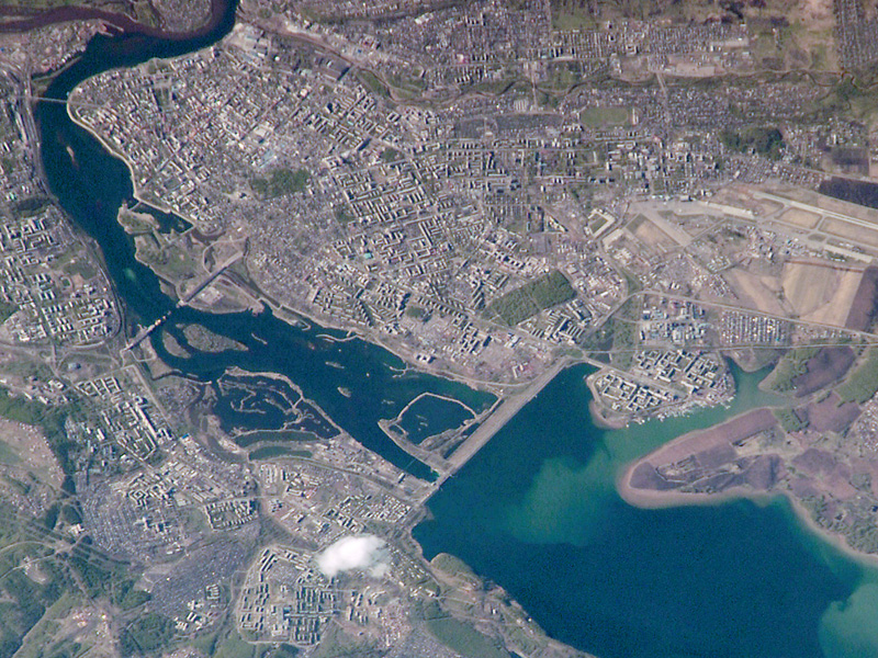
Kolyma River
The
Kolyma (Колыма́) River, a bit over two thousand kilometers long, is
located in far northeastern Siberia. It empties into the East
Siberian Sea, part of the Arctic Ocean. The Kolyma is solidly
frozen to a depth of ten feet or so for much of the year; free of ice
only from mid-June to mid-October.
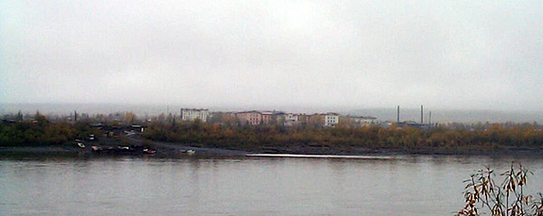
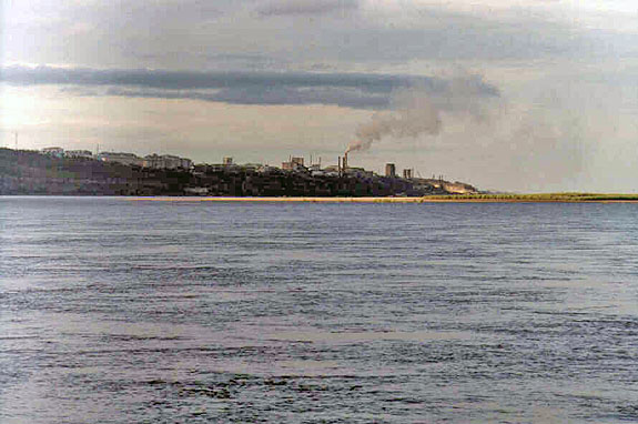
The town of Debin, Kolyma District, Magadan Oblast viewed through
the morning mist over the Kolyma River, 8 September 2004; photo by Oxonhutch.
The Kolyma region is
also notorious for the Gulag labor camp system established there in the
1930s by Stalin. Millions of imprisoned died in the area in the
gold mining, lumber and other forced-labor camps. Varlam Shalamov (1907-1982) wrote his book, The Kolyma Tales, to
document what went on in the Gulag. Aleksandr Solzhenitsyn,
in his three-volume work The Gulag Archipelago, also wrote about those who toiled and died in the
camps of Kolyma. There is now a monument to those who suffered in
the Kolyma camps. The Mask of Sorrow is located on a hill above Magadan, Russia. Ernst Neizvestny,
the famed Russian sculptor, designed the statue--he also designed Khrushchev's tomb.
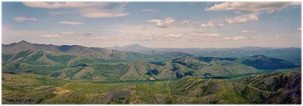
The Upper Kolyma region from the air; photo A.V. Lozhkin.
|