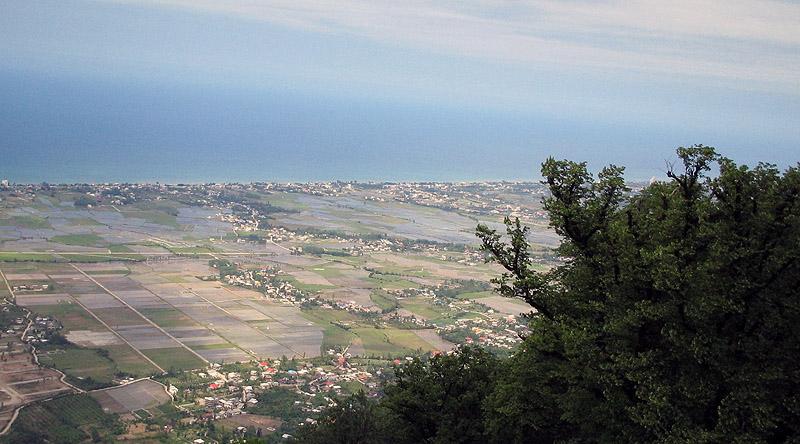
Caspian Sea seen from Namak Abrood, Iran
 Caspian Sea seen from Namak Abrood, Iran |
|
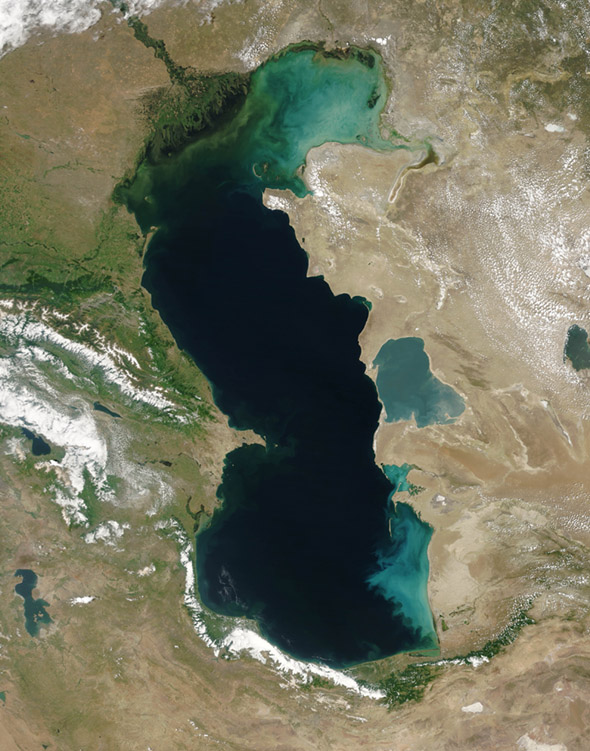
The Caspian Sea is the world's largest inland sea. It is called a sea and not a lake because when the Ancient Romans arrived there, they discovered that the water was salty (about a third as salty as regular seawater); they named the sea after the Caspian tribe that lived there. The countries of Russia, Kazakhstan, Turkmenistan, Azerbaijan and Iran presently border the sea. The Caspian is about ninety feet below sea level, and at it's deepest it is a little over three thousand feet deep. The Volga River accounts for about eighty percent of the inflow of water into the Sea, the remainder being from other smaller rivers. Because the Volga accounts for so much of the Caspian's water, the damming and diversion of the Volga's water for industrial, agricultural and residential purposes have lead to the lowering of the Caspian's water level. The Volga enters the Caspian Sea through the Volga delta at the mouth of the river where the city of Astrakhan is located. But what is unique abut Caspian is that there is no outlet; most of the sea's water evaporates in the Kara-Bogaz-Gol (see below).  Man, the Environment and the Zaliv The Zaliv Kara-Bogaz-Gol (KBG aka the Garabogazköl Aylagy or the Garabogazkol Gulf) is a large, shallow lagoon, or bay--only about thirty feet deep--of the Caspian Sea that acts as a natural evaporation basin for the waters of the Caspian Sea (and depositing seas salt on its shore as the water evaporates). The size of the KGB has varied considerably over the course of the past century, from 0 sq. mi. to as much as seven thousand mi sq. |
 |
The bright, salty, sediment-filled water of the Zaliv Kara-Bogaz-Gol
(also known as the Garabogazköl Gulf) contrasts sharply with the dark
and clear water of the Caspian Sea. This shallow basin is connected to
the Caspian Sea by a narrow channel, which is its only source of fresh
water. Over the past century water level in the Zaliv Kara-Bogaz-Gol
has varied tremendously, with detrimental affects for the local
environment. Drought and diversion of water from the Volga and Kür
Rivers (the primary sources of fresh water for the Caspian) lowered the
level of the Caspian Sea for most of the 20th Century. In 1980 the
Soviet Union completed a dam that blocked the flow of water from the
Caspian into the Zaliv Kara-Bogaz-Gol, which then dried out almost
completely. As a result sturgeon spawning grounds were destroyed and
dust storms drove away the local inhabitants. Shortly after the dam was
built, however, a rise in the Caspian’s level necessitated the release
of water back into the Zaliv Kara-Bogaz-Gol. In 1992 the dam was
destroyed. |
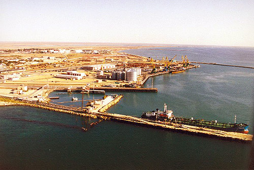
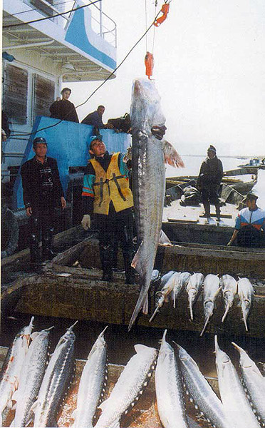
 Natural Resources of the Caspian  Oil Terminal on the Caspian Sea The Caspian Sea contains both oil fields and natural gas, both are still being developed to reach their full potential. Could you foresee any problems in the fact that these resources have to be divided between all the countries that border the Caspian Sea (Russia, Azerbaijan, Kazakhstan, Turkmenistan and Iran)?   They Just Don't Grow Sturgeon As Big As They Used To The Caspian Sea is home to a number of species of sturgeon; one of the most famous fish in Russia; and a fish whose eggs (caviar) are prized as a delicacy around the world--I won't eat them! Sturgeon can range in length from seven to ten feet, sometimes even reaching fifteen feet, and they have even been known to live for longer than a century. The fish are bottom feeders and eat shellfish, crustaceans and other small fish, but sturgeon themselves have no teeth. In recent years overfishing of sturgeon in the Caspian Sea has severely depleted the fish population to the point that the fish are now endangered. The capture of female sturgeon and their eggs (the caviar) even more so depletes the fish population. |
This
page is copyright © 2007, C.T. Evans
For information contact cevans@nvcc.edu