The region that I am calling the
"Trans-Caucasus," or Transcaucasia (sometimes referred to as the South Caucasus) ,
derives its name from the Russian word "Закавказ" (zakavkaz), meaning
"beyond the Caucasus Mountains." This applies to Georgia,
Armenia and Azerbaijan; countries that border Iran and Turkey to the south and
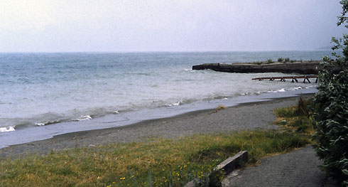
Russia to the north. The Black Sea is to the West, and the Caspian Sea to the east.

Located between Iran (Persia), Turkey (the Ottoman Empire) and Russia, the region has experienced political, military, religious and cultural rivalry for centuries. For most of its history, the area was part of the Persian and Turkish empires until the Russian Empire incorporated some of the Trans-Caucasus in the course of the nineteenth century. There is still serious unrest in the area in Abkhazia, South Ossetia and Nagorno-Karabakh (see the Caucasus).

Azerbaijan borders the Caspian Sea with the Caucasus Mountains to the north--about half of the country is mountainous. The interior of the country is mostly flatlands. The climate varies from nicely temperate along the Caspian Sea, to dry in the central highlands, to cold in the mountains. (see Baku).

Georgia
is a small country, very mountainous, bordered on the east by the Black
Sea
and in the north by Russia. Because of the mountainous
terrain and the poorly developed transportation
infrastructure, many mountain villages are virtually isolated
during the winter. Earthquakes and landslides are common, often
with devastating results. Georgia has over twenty thousand
rivers; most of which flow into the Black Sea.
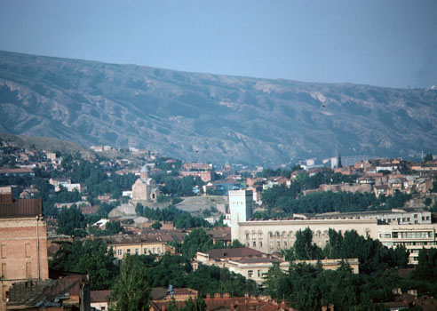
Tbilisi
In general, Georgia enjoys a relatively mild climate. The Caucasus Mountains serve as a barrier against cold air from the north. Warm, moist air from the Black Sea provides a sub-tropical climate in the coastal lowlands with a high annual rate of precipitation. In eastern Georgia, the plains are located in a drier, more moderate, continental climate. On many of the mountains to the north and throughout the country, snow and ice are present year-round.
Tbilisi (თბილისი, aka Tiflis) is the capital and largest city of Georgia, lying on the banks of the Mtkvari (Kura) River with the foothills of the Caucasus in the background. According to legend the city became the capital of medieval Georgia in the sixth century ce.
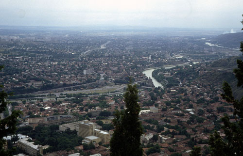
Tbilisi and the Mtkvari River

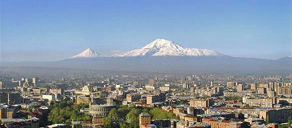
Armenia (Հայաստան, Hayastan, Հայք, Hayk‘)--presently about the size of Maryland, but before World War I Armenia comprised almost the entire eastern half of what is now Turkey--is a particularly old land, bordered by Turkey to the west, Georgia to the north, Azerbaijan to the east, and Iran to the south.
The terrain is mostly mountainous and flat--the Armenian Plateau--with fast flowing rivers and few forests. The climate is highland continental with hot summers and cold winters. Part of the Caucasus Mountain range runs from northern Armenia to the southeast towards Iran, which makes travel from north to south difficult. Armenia is the locale of frequent devastating earthquakes, such as the one that struck Leninakan (Gyumri), the second largest city in December 1988, killing more than 25,000 people.
Armenia has been around as an organized area since ancient times, with the first real political state dating to the second century bce and reaching its peak in the early first century bce. It later became part of the Roman Empire and was the first kingdom to adopt Christianity as a state religion in 301 ce. (The Armenian Orthodox Apostolic Church is independent of both Catholic and Orthodox churches.)
With the fall of the Roman Empire, Armenia was conquered and ruled, in succession, by Persians, Byzantines, Arabs, Mongols and then Ottoman Turks. It then became part of the Russian Empire. During World War I, the Russian Army succeeded in occupying much of the part of Armenia that was in the Ottoman Empire, but with the Bolshevik Revolution and ensuing Civil War, those territorial gains were wiped out as part of the Treaty of Kars (1921). In the midst of this turmoil, Armenia first became independent and then "rejoined" Russia as part of the Trans-Caucasian Soviet Socialist Republic.
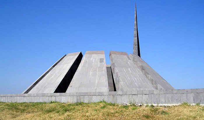
The Armenian Genocide
